


Your blue dot stops moving. You restart the maps app, then your phone. Still nothing. In a day without GPS, that could be one person's morning. Someone beside them could still get directions, because their receiver can use another satellite system. The bigger question would be harder to see: what happens to services that use GPS to keep time?
For this thought experiment, assume usable civilian GPS positioning and timing signals disappear worldwide for 24 hours. Electricity and mobile data remain available at the start. Other navigation constellations keep operating. This is a hypothetical outage, not a warning that one is coming.
Losing GPS wouldn't empty the sky
We often call the whole business of satellite navigation “GPS.” That's one system: the American Global Positioning System. ISRO distinguishes it from GNSS, the wider family that includes Europe's Galileo, Russia's GLONASS and China's BeiDou, alongside regional systems such as India's NavIC.
That distinction changes the story. ESA has documented smartphone positioning with multiple constellations, including demonstrations using Galileo alone. Switching off GPS in our scenario doesn't switch off Galileo.
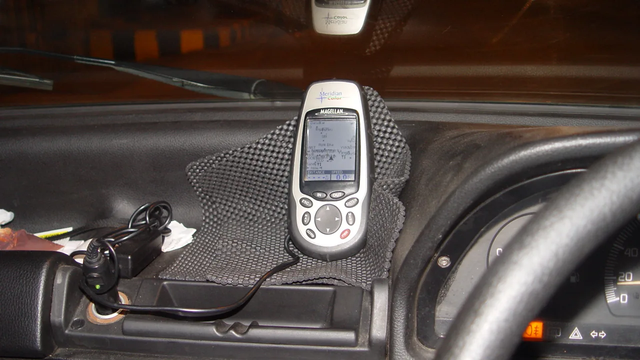
But “other satellites exist” isn't a promise that every device would cope. A receiver must support the remaining signals, and its software must be able to use them. The phone in your pocket and an older navigation unit on a dashboard needn't behave alike. A list of supported systems is a clue; a tested fallback is stronger evidence.
Real radio interference is a different problem. This scenario deliberately spares the other systems. It doesn't establish that another constellation would rescue a receiver during an actual jamming event.
A map and a moving dot are different things
Picture a delivery rider on an unfamiliar street. This is an illustration, not a reported incident. If the rider's device loses its position, the practical problem might be finding the right building rather than reaching the neighbourhood.
The street map could still be on the screen. Loading a map and calculating a satellite position are separate jobs. A saved map gives you roads to read; by itself, it can't tell you which of those roads you're standing on.
So the useful backup is more specific than “download maps.” Keep the full address, identify a nearby landmark and know how to read the route without relying entirely on a moving dot. That won't replace navigation equipment. It could make an ordinary journey less confusing.
Nor would the lack of a position fix, by itself, prove the internet had failed. In our scenario, mobile data is initially available. Whether it stays reliable brings us to the less visible part of GPS.
The clock matters beyond the dashboard
GPS carries precise time as well as information used to calculate position. NIST describes its timing signals being used to synchronise mobile calls and timestamp financial transactions.
Those are dependencies, not a schedule for failure. A service using satellite time doesn't necessarily stop the instant the signal disappears. The important questions are what other time reference it has and how well it can continue without fresh corrections.
There's a term for that second ability: holdover. Think of a clock carrying on after losing the signal that keeps it aligned. How useful it remains depends on the clock, conditions and how much error the service can tolerate.
The UK's National Physical Laboratory provides a concrete example of a different approach. Its NPLTime service distributes time over fibre independently of GNSS. Its service nodes also have local caesium clocks for holdover. That's evidence that alternatives exist, not evidence that every mobile network or bank has one.
Without examining a particular operator's setup, we can't honestly say it would fail after ten minutes, survive all day or behave identically across the country. A frozen map wouldn't tell you the answer.
Would NavIC keep India moving?
NavIC is a relevant part of the answer. ISRO describes it as an independent regional navigation system that doesn't depend on the other systems to provide positioning within its service region.
Independence at the system level still has to reach the device. A receiver needs to support NavIC's signals. Installing a different maps app can't, on its own, give incompatible hardware that capability.
For our GPS-only outage, a compatible receiver with usable NavIC signals would have another potential source of positioning. That doesn't amount to a guarantee for every Indian phone, vehicle or service. This article hasn't tested handset fallback or audited the constellation's current operational health.
One day, very different experiences
There wouldn't be one universal version of those 24 hours. A person whose phone can still calculate a position might barely notice. Someone dependent on a GPS-only receiver could have a much worse journey. An operator with an independent timing source would face a different problem from one relying on holdover alone.
The revealing question is what “backup” actually means. Is it another satellite system the receiver can use? A clock that can keep acceptable time? An independent way of getting the reference the service needs?
For your next unfamiliar trip, the modest check is useful: could you find the destination if the dot froze? For the organisations behind the services you use, the test is much tougher. They need to know what happens when the signal disappears, and demonstrate that the backup works before that day arrives.


Reader Discussion